Wendy Washington · 18 October 2026
Community-Led Sediment Tracking Initiatives Reshaping Tropical Port Maintenance Schedules
Ports in tropical zones contend with rapid sediment accumulation driven by monsoon patterns, river outflows, and coastal currents that deposit silt and sand into navigation channels. Maintenance dredging schedules traditionally relied on periodic surveys conducted by port authorities at fixed intervals, yet these approaches often missed localized shifts that affected vessel draft restrictions and turnaround times. Community-led sediment tracking initiatives have introduced continuous monitoring networks operated by local fishers, harbor workers, and environmental groups equipped with affordable sensors and mobile reporting apps.
Sediment Dynamics in Tropical Port Environments
Tropical ports experience sediment loads that fluctuate sharply with seasonal rainfall and cyclone activity, creating conditions where channel depths can change by several meters within weeks. Data from regional hydrographic offices show that ports along the Coral Triangle and Caribbean basins record average annual siltation rates exceeding 1.5 meters in approach channels during peak wet seasons. These variations force operators to adjust vessel schedules or incur emergency dredging costs when sediment exceeds design depths. Observers note that integrating community observations fills gaps between official surveys conducted every six to twelve months.
Structure of Community Monitoring Programs
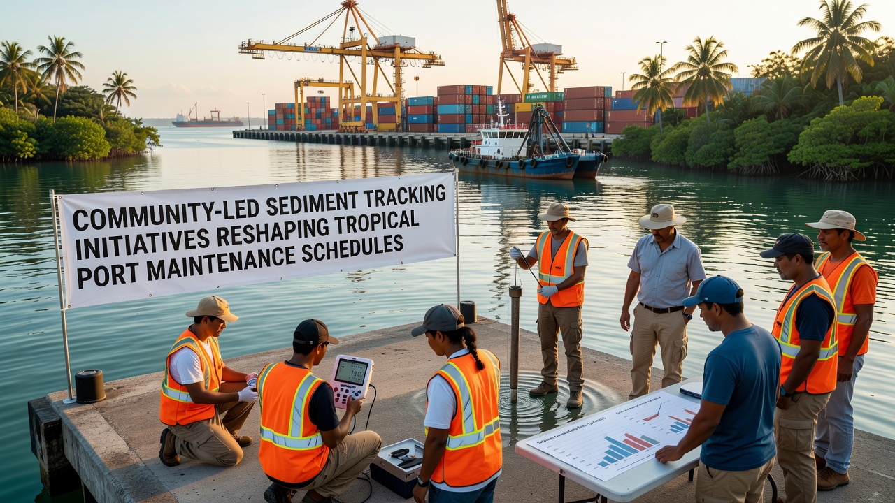
Local participants deploy low-cost turbidity meters and GPS-tagged depth probes at fixed transects near port entrances and turning basins. Readings transmit via cellular networks to centralized databases maintained by regional maritime agencies. Training sessions organized through port community associations cover calibration procedures and data validation protocols. Programs operating in ports such as those in northern Australia and the Philippines demonstrate participation rates above 70 percent among registered small-vessel operators. The resulting datasets capture daily and weekly changes that align closely with acoustic surveys performed by professional hydrographers.
Adjustments to Maintenance Dredging Timelines
Port authorities have begun incorporating community-generated sediment profiles into adaptive maintenance planning. In one documented case at a major Indonesian bulk terminal, real-time alerts triggered a dredging campaign three weeks earlier than the scheduled annual cycle, preventing two vessel groundings and associated delays. Similar adjustments occurred at facilities in Papua New Guinea where sediment spikes detected in late 2025 prompted preemptive work before the 2026 wet season onset. Maintenance windows now shift dynamically based on threshold exceedances rather than calendar dates alone.
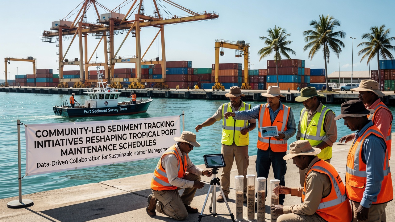
Coordination meetings between port management and community teams occur monthly to review accumulated readings and refine alert thresholds. These sessions have reduced unplanned closures by an average of 18 percent across participating facilities according to records compiled through October 2026. Equipment maintenance and data quality checks remain shared responsibilities, with replacement sensors funded through port community levies.
Integration with Regulatory and Research Frameworks
National maritime safety agencies in several tropical nations now accept community datasets as supplementary evidence for environmental impact assessments tied to dredging permits. Cross-verification against satellite imagery and acoustic Doppler current profiler deployments conducted by research institutions confirms accuracy within 10 centimeters for depth measurements. Partnerships with universities in Southeast Asia and the Pacific have produced open-source algorithms that filter outliers and interpolate between sensor points. Such collaborations expand the spatial coverage of monitoring grids without requiring proportional increases in agency budgets.
Operational Outcomes Across Multiple Sites
Ports adopting these initiatives report measurable reductions in average vessel waiting times during peak sediment periods. At one facility handling bulk mineral exports, integration of community alerts allowed operators to maintain declared channel depths with 12 percent fewer dredging hours than the preceding three-year average. Comparable outcomes appear in Caribbean terminals where hurricane recovery dredging was sequenced according to post-storm community surveys rather than fixed post-event calendars. These patterns indicate that localized, high-frequency data supports more precise allocation of dredging resources.
Challenges in Scaling Community Networks
Technical hurdles include sensor drift in high-salinity environments and intermittent connectivity in remote anchorages. Mitigation strategies involve redundant probe deployments and periodic cross-checks with professional survey teams. Data governance questions arise regarding ownership and access rights when multiple stakeholders contribute readings. Memoranda of understanding between community groups and port corporations establish protocols for data sharing while protecting participant identities in sensitive areas. Funding sustainability depends on continued port contributions and occasional grants from international development programs focused on maritime infrastructure resilience.
Conclusion
Community-led sediment tracking has altered the timing and scope of maintenance activities at multiple tropical ports by supplying frequent, spatially detailed observations that complement traditional survey methods. Ports incorporating these inputs demonstrate greater responsiveness to seasonal and event-driven sediment changes, resulting in adjusted dredging schedules and reduced operational disruptions. Continued expansion of sensor networks and refinement of data integration protocols will determine the extent to which such initiatives influence broader regional port management practices.