Eden Albrecht · 20 September 2026
Decoding Microclimate Influences on Sensor Calibration Protocols in Remote Harbor Networks
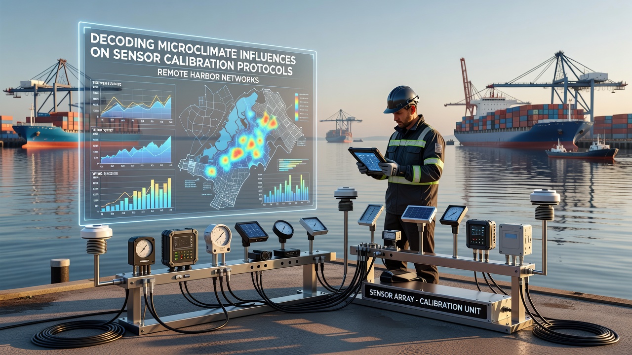
Remote harbor networks rely on dense arrays of environmental sensors to track water levels, wind speeds, salinity gradients, and temperature fluctuations across isolated coastal zones, yet microclimate variations introduce persistent calibration drift that demands specialized protocols. Observers note that localized temperature inversions, humidity spikes, and wind shear patterns create conditions where standard calibration routines lose accuracy within days of deployment. Research indicates that these microclimates arise from interactions between land-sea thermal contrasts and harbor topography, producing rapid shifts that standard laboratory models do not capture.
Microclimate Dynamics in Isolated Harbor Environments
Harbor microclimates form through a combination of tidal cycles, surrounding terrain, and atmospheric layering that produces pockets of air with distinct thermal and moisture properties. Data from monitoring programs show that sensors placed on breakwaters experience different humidity regimes than those mounted on floating platforms only a few hundred meters away. Researchers have documented cases where a single fog bank moving through a channel alters local temperatures by several degrees within minutes, forcing recalibration sequences to account for these transient events. Studies conducted in northern Pacific harbors reveal that such variations accelerate sensor drift in pressure transducers and conductivity probes more than open-ocean deployments.
Calibration Protocol Adaptations for Variable Conditions
Calibration protocols now incorporate real-time microclimate corrections rather than relying solely on scheduled laboratory checks. Engineers adjust reference standards using auxiliary measurements of air temperature gradients and relative humidity collected at multiple heights above the water surface. One approach integrates machine-learning models trained on historical harbor data to predict when calibration offsets are likely to exceed acceptable thresholds. Evidence from field trials demonstrates that protocols incorporating these corrections maintain measurement accuracy within 0.5 percent over extended periods, whereas conventional methods require intervention every 72 hours under similar conditions.
September 2026 Field Updates and Network Expansions
In September 2026 several remote harbor networks completed phased upgrades that embedded microclimate sensors directly into calibration workflows. These installations feed continuous data streams into centralized adjustment algorithms, allowing automatic compensation for localized wind and temperature anomalies. Reports from the deployments indicate that networks in high-latitude regions benefited most, because persistent low-level inversions had previously caused the largest calibration discrepancies. The updated systems also transmit alerts when microclimate conditions deviate beyond modeled parameters, prompting technicians to verify sensor performance before drift compounds.
Geographic Variations and Comparative Data Sets
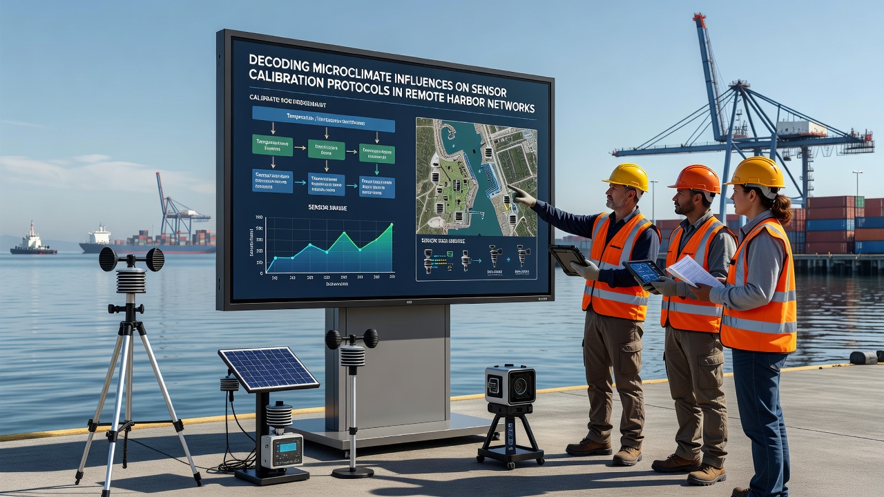
Comparative analyses across different coastal regions highlight how latitude and prevailing wind patterns shape the required calibration frequency. Networks along temperate Atlantic coasts encounter shorter-duration microclimate events driven by frontal passages, whereas Pacific systems contend with persistent marine layers that stabilize for days. According to findings published by the National Oceanic and Atmospheric Administration, sensor arrays in Alaskan fjords required twice the recalibration rate of those in subtropical Australian ports during equivalent monitoring windows. Australian Bureau of Meteorology reports further note that harbor networks near the Great Barrier Reef show pronounced diurnal humidity cycles that affect optical sensors used for turbidity measurements.
Integration of Multi-Sensor Redundancy and Validation Methods
Redundant sensor clusters placed at varying elevations within the same harbor provide cross-validation data that helps isolate microclimate effects from instrument failure. When one unit registers an offset while its neighbor at a different height remains stable, protocols flag the discrepancy as likely microclimate driven rather than hardware related. This method reduces false maintenance calls and extends operational intervals between physical interventions. Observers have recorded instances where redundant setups identified a localized cold-air drainage event that would have otherwise been interpreted as widespread sensor malfunction.
Conclusion
Remote harbor networks continue to refine calibration protocols by embedding microclimate monitoring into every stage of data collection and validation. The September 2026 upgrades demonstrated measurable gains in measurement stability across multiple geographic zones. Ongoing research from institutions in North America and Oceania supplies the comparative data sets needed to generalize these protocols beyond individual sites, ensuring that sensor accuracy remains consistent despite the inherent variability of coastal microclimates.