
Wendy Washington · 4 October 2026
Examining How Traditional Logbook Records Reveal Shifts in Fish Migration Routes Through Remote Island Passages
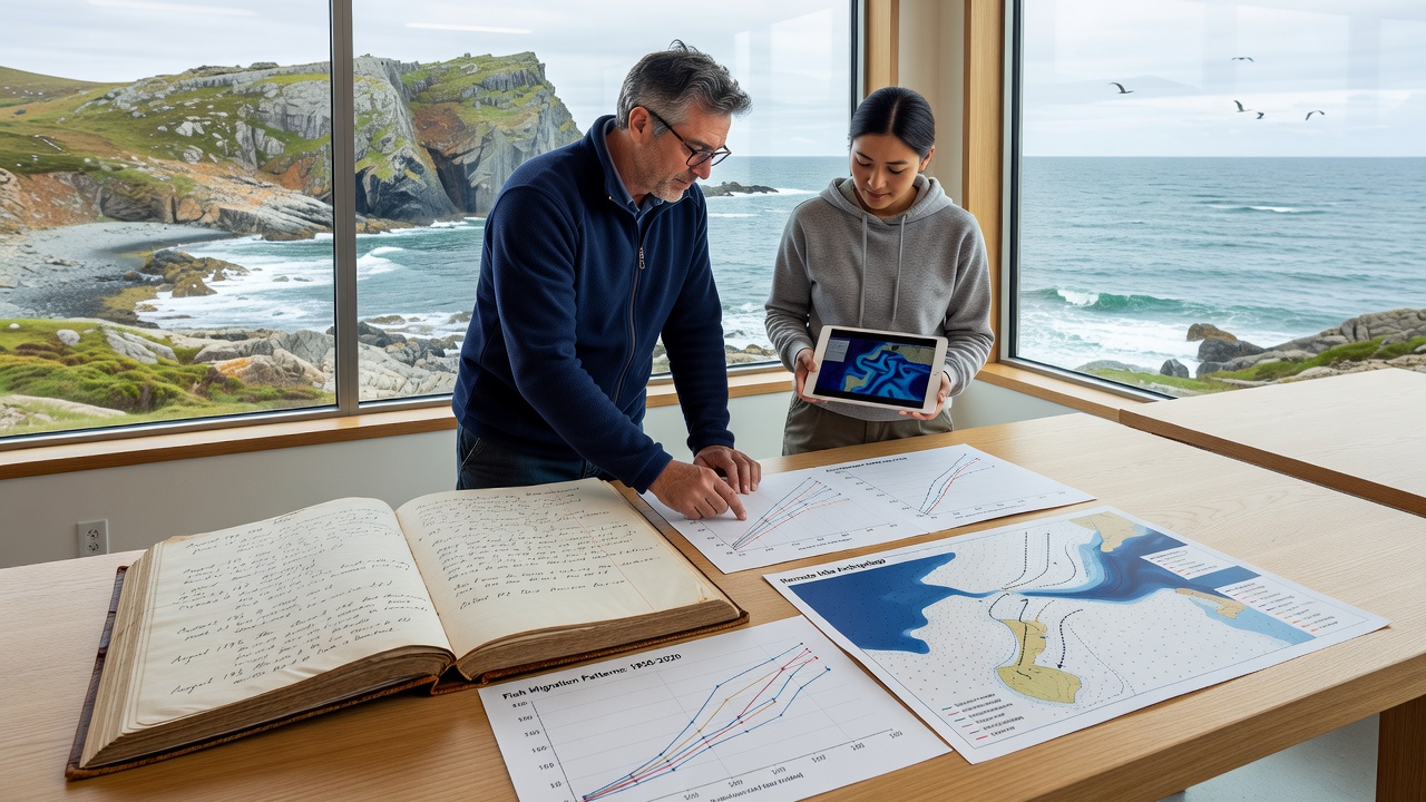
Traditional logbook records from commercial fishing fleets have long served as primary sources of data on fish movements across remote island passages, and researchers continue to mine these archives for evidence of changing migration patterns. Captains and crews aboard vessels operating in areas like the central Pacific and Indian Ocean archipelagos recorded daily catches, species sightings, water temperatures, and route details throughout the twentieth century, creating datasets that span decades, while modern analysts cross-reference these entries with satellite observations and oceanographic models to identify temporal shifts.
Historical Value of Logbook Data
Logbooks maintained by fishing operations in isolated passages such as those around the Hawaiian Islands, the Galápagos, and the Maldives contain precise notations of species encounters at specific latitudes and longitudes, and these handwritten or early digital entries often include timestamps that allow reconstruction of seasonal routes taken by tuna, marlin, and migratory reef fish. Government agencies in multiple regions began requiring standardized logbook submissions in the mid-1900s, which produced consistent formats across fleets from different nations and enabled comparative studies that span both sides of the equator.
Data compiled from vessels transiting passages near the Line Islands between 1975 and 2005 shows earlier arrival dates for skipjack tuna schools during spring months compared with records from the 1950s, and similar patterns appear in logs from vessels operating near the Seychelles. These shifts coincide with measured increases in sea surface temperatures recorded by research buoys, although logbook temperature annotations themselves provide independent confirmation of warmer conditions during transit periods.
Analytical Methods Applied to Archival Records
Researchers digitize paper logbooks through optical character recognition followed by manual verification, then geocode each entry to create spatial databases that support statistical modeling of migration corridors. Cluster analysis applied to catch locations reveals narrowing or widening of passage usage over time, and time-series comparisons highlight changes in peak abundance periods that align with ocean current alterations documented by drifting buoy arrays.
Integration with Contemporary Observations
October 2026 saw the release of an updated global fisheries database that incorporated newly scanned logbooks from vessels operating in the western Pacific passages, and this addition extended continuous records for several key species back to 1948. Analysts combined these entries with acoustic tagging data collected since the early 2000s to validate historical route reconstructions, confirming that certain yellowfin tuna pathways have shifted southward by approximately 120 kilometers over the past forty years.
Cross-validation studies conducted by teams at institutions in Australia and the United States demonstrate that logbook-derived migration timelines match independent observations from aerial surveys and port sampling programs, while discrepancies often trace to changes in fishing gear selectivity rather than actual population movements. The National Oceanic and Atmospheric Administration maintains one of the largest digitized collections, yet parallel archives held by agencies in New Zealand and South Africa supply complementary coverage for southern hemisphere passages.
Regional Case Examples
Passages between the Cook Islands and French Polynesia feature prominently in logbooks from longline fleets that recorded consistent mahi-mahi catches during specific lunar phases in the 1980s, whereas recent entries indicate more variable timing and a broader spread across adjacent seamounts. Similar documentation from vessels near the Azores shows bluefin tuna routes adjusting northward during summer months, with corresponding changes in transit durations through narrow channels between islands.
Researchers at the Commonwealth Scientific and Industrial Research Organisation examined logbook series from vessels operating near the Cocos Islands and documented a progressive delay in peak sardine migrations that matches regional current model outputs. These findings illustrate how traditional records can fill gaps in regions where electronic monitoring remains limited due to remoteness and infrastructure constraints.
Challenges in Data Interpretation
Variations in reporting standards across flag states introduce potential biases, and analysts must account for differences in vessel size, target species, and seasonal effort when comparing entries from different decades. Incomplete coverage during periods of fleet contraction or regulatory changes can create artificial gaps, yet statistical techniques such as effort standardization help isolate genuine distributional shifts from sampling artifacts.
Despite these limitations, the volume of historical logbook data continues to grow as additional archives undergo digitization, and collaborative international projects now link records across multiple ocean basins to produce basin-scale migration maps. Such maps support stock assessment models used by regional fisheries management organizations that rely on accurate passage usage information for quota setting.
Conclusion
Traditional logbook records remain a foundational resource for documenting long-term changes in fish migration routes through remote island passages, and their integration with modern datasets strengthens understanding of how ocean conditions influence species distributions over multi-decadal timescales. Ongoing digitization efforts and cross-regional data sharing expand the geographic and temporal scope of these analyses, while careful attention to methodological consistency ensures that identified shifts reflect ecological processes rather than artifacts of data collection.