Amir Simon · 6 September 2026
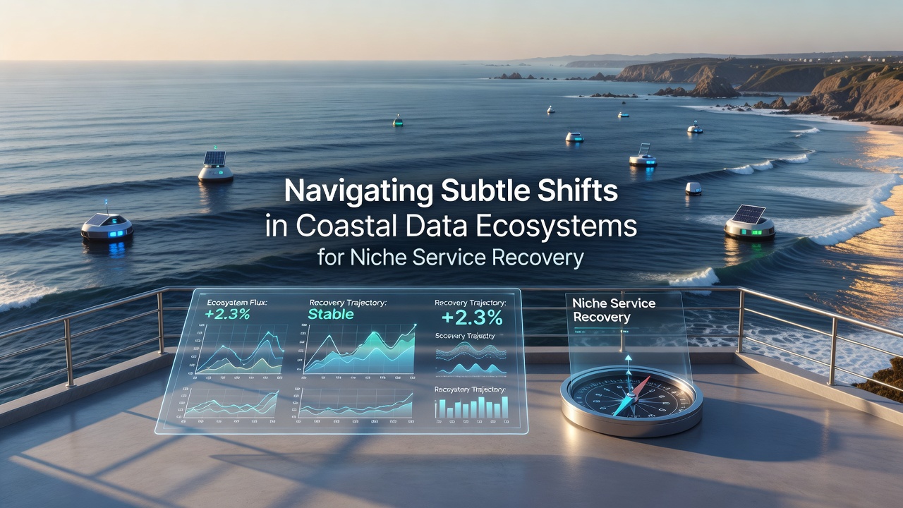
Navigating Subtle Shifts in Coastal Data Ecosystems for Niche Service Recovery
Coastal data ecosystems encompass networks of sensors, satellite feeds, and local observation points that track variables such as water temperature, salinity levels, sediment movement, and marine biodiversity; these systems support recovery efforts for niche services including specialized aquaculture operations, small-scale eco-tourism providers, and regional fisheries management programs. Subtle shifts in these ecosystems often arise from incremental changes in data collection methods, climate patterns, and regulatory frameworks rather than abrupt disruptions, which means service operators must monitor trends continuously to maintain operational stability.
Understanding Core Components of Coastal Data Systems
Researchers at institutions across multiple continents have documented how coastal data flows integrate real-time inputs from buoy networks, drone surveys, and community-reported observations; according to data compiled by the National Oceanic and Atmospheric Administration, these integrated streams allow precise mapping of habitat changes that directly influence service viability in areas such as shellfish farming and guided marine tours. Observers note that data quality depends on consistent calibration across stations, while gaps in coverage can delay recovery timelines when niche operators attempt to resume activities after seasonal or weather-related interruptions.
European Environment Agency publications highlight similar patterns along the Mediterranean and Baltic coasts, where standardized protocols have improved cross-border data sharing since the early 2020s; those protocols enable service providers to access comparable datasets that reveal gradual salinity increases or shifts in plankton distribution, factors that affect both tourism scheduling and stock replenishment cycles. Service recovery therefore hinges on timely interpretation of these layered datasets rather than reliance on isolated measurements.
Identifying Subtle Shifts and Their Operational Impacts
Subtle shifts frequently manifest as minor adjustments in data latency, sensor drift, or classification taxonomies that accumulate over months; for instance, a change in how satellite imagery algorithms categorize shoreline vegetation can alter flood-risk models used by coastal lodges and dive operators. Data indicates these modifications often go unnoticed until they affect permitting processes or insurance assessments, at which point recovery becomes more resource-intensive. Studies from Canadian research centers have tracked analogous patterns in the Atlantic provinces, where updated tidal prediction models introduced in 2025 required service businesses to recalibrate their booking systems and safety protocols.
What's interesting is how these shifts intersect with technological upgrades such as edge computing at remote monitoring sites; the reality is that operators who integrate new processing layers can extract actionable insights faster, yet those without updated infrastructure face extended downtime. Figures from Australian marine research programs reveal that facilities adopting hybrid data pipelines recovered operational capacity weeks earlier than peers using legacy systems alone during comparable coastal events.

Strategies for Effective Service Recovery
Niche service providers have adopted phased approaches that combine historical baseline data with incoming streams to detect deviations early; one documented case involved a Pacific Northwest shellfish cooperative that cross-referenced local sensor readings against broader regional models supplied by university consortia, allowing them to adjust harvest schedules before market disruptions occurred. Such methods rely on clear data governance structures that define update frequencies and validation steps, reducing ambiguity when external conditions evolve.
September 2026 marks the scheduled release of revised coastal mapping standards from several international working groups, which observers expect will standardize certain metadata fields used in recovery planning; organizations preparing now by auditing their current datasets stand to integrate these updates with minimal friction. Industry reports emphasize training programs that teach staff to interpret probabilistic outputs rather than deterministic forecasts, since coastal variables inherently carry uncertainty ranges that affect service continuity decisions.
Case Examples from Diverse Regions
Take one operator in the Gulf of Mexico region who leveraged updated sediment transport models to reposition floating aquaculture pens ahead of predicted current changes, thereby avoiding losses that affected competitors; similar tactics appear in Scandinavian coastal communities where data-sharing agreements between municipalities and private operators have shortened restoration periods after storm events. Research indicates that collaborative platforms reduce duplication of monitoring efforts and accelerate collective learning across service sectors.
Those who've studied these recoveries note the importance of maintaining redundant data sources, whether through partnerships with academic vessels or citizen-science networks; such redundancy proved valuable when single-source outages occurred during recent infrastructure maintenance cycles. External references such as reports from the Intergovernmental Oceanographic Commission provide frameworks that many regional programs now adapt to local conditions.
Conclusion
Coastal data ecosystems continue to evolve through incremental technological and environmental adjustments that shape recovery pathways for specialized service providers; successful navigation depends on sustained attention to data provenance, calibration routines, and cross-source validation. Organizations that embed these practices into routine operations position themselves to respond efficiently when standards update or conditions shift, ensuring continuity for activities that rely on precise coastal intelligence.